Gabor Kereszturi
2020: Dr Gabor Kereszturi, Massey University, has been awarded a Rutherford Discovery Fellowship for research titled ‘Caught in action - volcano surveillance with hyperspectral remote sensing’
Published 22 Whiringa-ā-nuku October 2020
Biography
Dr Gabor Kereszturi is a Senior Lecturer in the School of Agriculture and Environment at Massey University. He first joined Massey University from Hungary in 2010 when he began his PhD in Earth Science, and continued there as a postdoctoral researcher in hyperspectral imaging. Since 2017, he has been working as a Lecturer and then as a Senior Lecturer at Massey University on a variety of research topics in Earth Science and Remote Sensing. His research focuses on mapping and quantifying geological processes to understand the natural hazards associated with volcanic activity. Dr Kereszturi has more than 40 peer-reviewed publications and has been successful in securing competitive research funds including MBIE Endeavour Smart Ideas, the Royal Society Te Apārangi Catalyst: Seeding fund, and the Natural Research Hazard Platform. Dr Kereszturi is the co-lead of the Volcanogenic Sediment Commission of the International Association of Volcanology and Chemistry of the Earth's Interior (IAVCEI), and Associate Editor of the New Zealand Journal of Geology and Geophysics.

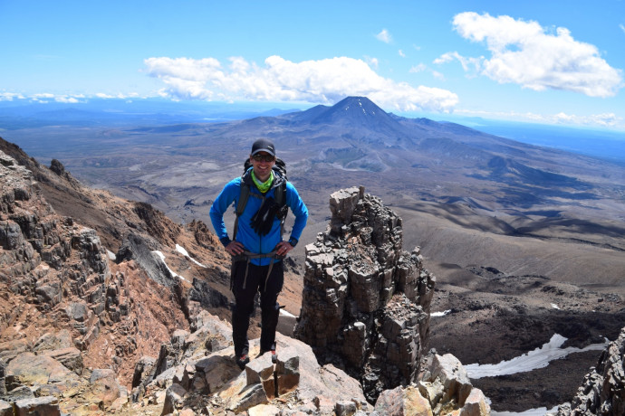
Dr Gabor Kereszturi. Photo: The 31st Spanish Antarctica Expedition 2017-2018
Research summary
Understanding volcanic eruptions is challenging due to the complexity of the physical and chemical processes that precede them, most of which are hidden underground. Key to understanding the eruption risk for a particular volcano is an understanding of the hydrothermal system at its core. Volcanic hydrothermal systems are windows to the volcano’s evolution, since they connect deep magma-generated heat, gasses and fluids with the surface. For example, the magnitude and style of an eruption depends on the amount of steam and/or vigour that is added from below. Furthermore, as hydrothermal fluids rise through cracks and pores, they chemically alter the host rocks they contact, forming new minerals with different properties. This hydrothermal alteration can degrade the rock’s mechanical properties and lead to a partial collapse of a volcano’s sides – a potentially catastrophic process that can occur without much warning.
New Zealand hosts one of the most active and productive volcanic regions on Earth, the Taupo Volcanic Zone, whose many volcanoes each host a significant hydrothermal system. However, their 3D extent beneath the surface remains poorly understood. As volcanoes tend to be inaccessible and potentially dangerous, scientists often use airborne geophysics and remote sensing to collect aerial imagery. Through this fellowship, Dr Kereszturi will extend the use of remote sensing to include hyperspectral imagery – detecting wavelengths beyond visible light. Hyperspectral imaging can reveal the extent, type and relationship of hydrothermally-altered minerals normally hidden from view. When combined with traditional monitoring techniques (analysis of surface gases, fluids, and rocks), hyperspectral remote sensing not only enriches our theoretical understanding of volcanic systems, but it also allows us to better anticipate and plan for future eruptions. In addition, Dr Kereszturi aims to use hyperspectral remote sensing to measure volcanic carbon dioxide emissions, providing a new and more reliable way to quantify volcanoes’ contribution to the global carbon budget. With the development of this new tool, this research has the potential to improve our understanding of complexity in volcanic eruptions and will also be helpful for formulating informed-advice for policy makers.